













Plan the Bursledon journey
For a move starting in Bursledon, identify the precise loading point and the final destination before discussing the hire. Route planning may involve the A27, M27, A3025, A3024 or A3051, depending on the addresses and the chosen journey. These roads provide useful orientation, but the practical route still depends on the property entrance, planned stops and vehicle dimensions. Give the booking team both ends of the trip, including any storage unit, parking area or second address. A clear start point and destination help frame the expected mileage and loading plan without relying on a road name alone. If the journey includes several drops, mention them during the call so the proposed hire reflects the actual use.
Use the van for a move or storage run
House moves often involve more than one type of item. Flat-pack furniture, boxes, lamps, garden equipment and small appliances may all need space, careful stacking and sensible protection. A van can also suit a storage run when rooms are being cleared in stages, or when belongings need moving between a property and a unit. Sort the load into stable groups, keep fragile pieces separate and reserve access to anything needed first at the destination. For a part move, note the approximate item count and largest piece rather than describing the job simply as a collection. That information gives the booking team a clearer picture of the work and may guide the conversation towards a more appropriate vehicle group.
Check loading points before moving
Examine both addresses for a safe place to load and unload. A driveway, forecourt or nearby legal parking position may change how far furniture must be carried, while a narrow lane, shared entrance or low structure can affect the usable vehicle choice. Consider whether doors open fully, whether a lift or stairway is involved, and how many people can meet the vehicle at each end. Keep fragile goods away from public walkways and avoid blocking neighbours, entrances or emergency access. Explain any unusual approach, timed access rule or final-address concern during the call. The booking team can record the handover details and direct uncertain points to the relevant hire conditions.
Match the van to the load
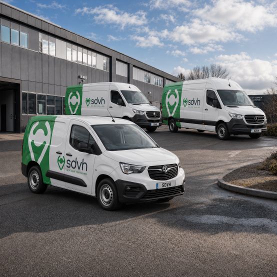
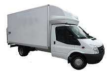
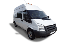
Start with the largest item, then estimate the remaining boxes, bags and equipment. A compact vehicle may be easier around tight residential access, whereas extra length or height may be worthwhile for wardrobes, mattresses or a substantial storage clearance. Passenger seating matters if helpers need to travel in the cab, and payload matters when dense items such as books, tools or appliances are part of the plan. Consider loading height as well as internal volume, especially for repeated lifting. Tell the booking team whether the journey involves one room, a partial move, several storage trips or a complete home clearance. The final selection depends on the relevant vehicle groups and the hire conditions.
Nearby Hampshire journeys from Bursledon
Van-hire routes connected with Bursledon may involve Hedge End, Netley, Warsash, Locks Heath and West End. A move from Bursledon towards Hedge End, Netley or Warsash needs the loading addresses, stop order, access measurements and any timed bay details.