



Plan the Bursledon route
Route planning should begin with the exact start point and destination, followed by each intermediate stop. Around Bursledon, the intended movement may reference the A27, M27, A3025, A3024 and A3051, depending on the sites involved. These road names provide useful context for the telephone discussion, but they do not replace a complete address and access description. State whether the truck is travelling between commercial premises, storage locations, homes or temporary work sites, and identify where loading or unloading takes place. If several vehicles or repeated journeys are involved, set out the order clearly. The booking team uses those practical details to consider the proposed hire and record the handover arrangements. The start point and destination should be supplied as exact addresses rather than inferred from a road reference.
Support multi-site truck work
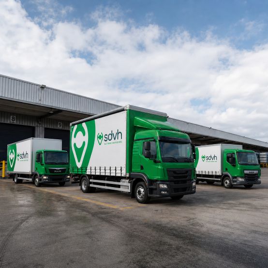
Truck hire can suit a chain of connected tasks: collecting materials from one location, moving equipment to a second site, clearing items from a third address and returning the vehicle after the final handover. It may also support stock redistribution, a staged office move, event equipment transport or a planned delivery run where several loads follow the same working sequence. The useful question is not simply how much fits in one load, but how the truck will operate across the day. Note the order of sites, expected loading time, whether goods need protection and who will receive each load. A clear schedule gives the booking team a practical basis for discussing the hire. Any commercial timing, waiting arrangements or multiple-vehicle requirement should be raised as part of the initial telephone conversation.
Check loading and handover space
Every stop on a Bursledon schedule deserves its own access check. Identify where the truck can stand while goods are loaded, whether a loading bay is available, and how far items must travel between the vehicle and the building. Note gates, narrow approaches, low structures, steep surfaces, turning limits and any timed parking arrangement. If passengers are travelling, decide where they will meet the vehicle safely and who will be present for the handover. The final address should be described precisely, including a building name, unit, entrance or site reference where relevant. Delivery and collection arrangements depend on the agreed hire details, so nearby road names alone are not enough. Share any uncertainty over parking or access during the call, before a vehicle group is selected.
Match the truck to the work
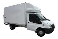
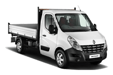
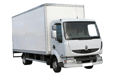
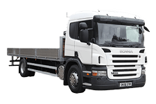
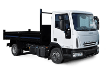
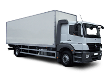
Vehicle choice should follow the complete job rather than the largest load alone. Explain the number of passengers, the volume and weight of luggage or goods, the preferred body type, and how items will be loaded and secured. A job involving boxed stock may call for different space from one carrying long materials, bulky equipment or mixed loads. Access also matters: the best option must work at the smallest or most restricted stop, not only at the main collection point. Tell the booking team about loading equipment, ramps, fragile items, multiple drop-offs and any need to keep people and goods separate. The resulting recommendation remains tied to the supplied details and hire terms, so changes to the load or route should be mentioned promptly.
Nearby Hampshire journeys from Bursledon
Commercial route references around Bursledon include Hedge End, Netley, Warsash, Locks Heath and West End. Before a truck travels from Bursledon towards Hedge End, Netley or Warsash, provide site postcodes and verify height, weight, turning and loading restrictions.