



Plan the route from Odiham
For a start in Odiham and a destination at another work site, route planning may involve the A287, M3 or A30. These references are useful when describing the broad shape of a multi-site job, especially where one leg carries equipment and a later leg involves collection or return. They are not a substitute for checking the full address, access instructions, working hours or restrictions affecting the actual premises. State the first loading point, each intermediate stop and the final destination during the phone call. If the route changes between booking and the work date, raise that change with the booking team so the intended truck use and handover details can be reviewed against the terms.
Make one truck work across sites
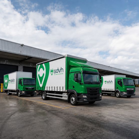
A commercial truck may support a sequence of practical tasks: moving tools between project locations, collecting materials from one point, clearing a property before a handover, or taking equipment to a temporary work area. Multi-site jobs often have different loading patterns at each stop, so note which items travel together and which are collected later. Allow time for securing the load, finding the right entrance and speaking with the person receiving it. If a second trip could be avoided by selecting a different body or capacity, mention the full schedule on the call. That gives the booking team a clearer picture of the working day without assuming that every stop has identical access.
Review access before moving equipment
Access deserves attention when a truck visits several premises. Check whether each loading point has a suitable stopping area, a firm surface, enough room for doors or tail equipment, and a route from the vehicle to the building. Note low entrances, narrow gates, overhead obstructions, sloping ground and any need to keep a shared accessway clear. Passenger meeting points may matter when a team travels with the load, so identify who needs to be present at each stage. Give the booking team the most restrictive site details, including the final handover address and any timed arrival instruction, so the proposed vehicle and arrangements are discussed realistically.
Choose by load and body style
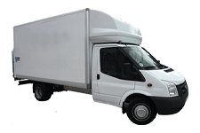
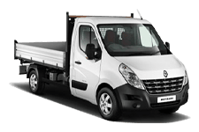
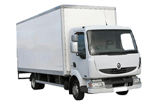
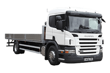
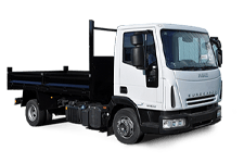
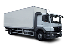
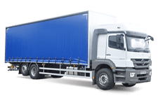
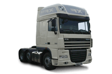
Truck choice should follow the job rather than the appearance of the vehicle. Start with the load’s weight, dimensions, shape and handling method, then consider whether an enclosed body, open load area or another format is more appropriate. Include tools, packaging, passengers and protective materials in the calculation, as these reduce usable space. Access can change the decision too: a larger truck may suit the load but not the tightest entrance. Describe the full collection and delivery sequence to the booking team, including the most restricted stop. The booking conversation can then address driver entitlement, insurance terms and the vehicle group that fits the stated work.
Nearby Hampshire journeys from Odiham
Commercial route references around Odiham include Hook, South Warnborough, Hartley Wintney, Fleet, Old Basing, Greywell and Winchfield. Before a truck travels from Odiham towards Hook, South Warnborough or Hartley Wintney, provide site postcodes and verify height, weight, turning and loading restrictions.