


Plan the Petersfield journey
For a truck hire starting in Petersfield and ending at the destination supplied for the move, route planning should reflect the vehicle’s size as well as the driver’s preferred direction. Route references around Petersfield include A3 and A272, which may help frame the broad journey when discussing the start and destination by telephone. The important details are the precise addresses, delivery instructions, access at each end and any point where the truck must pause for loading or unloading. A larger move may involve furniture, machinery, building materials or event equipment, so the journey should be considered alongside the order in which items will be handled. The booking conversation provides an opportunity to describe the intended route and identify any practical concerns before the hire is arranged.
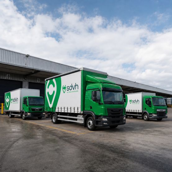
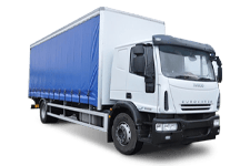
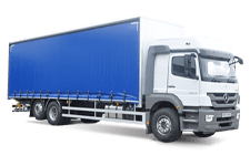
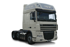
Trucks for larger Petersfield jobs
Truck hire can suit a substantial house move, a workshop clear-out, equipment transport or a one-off task involving bulky items. A journey near Petersfield station may need a different loading plan from one serving Petersfield Festival Hall, while a move through Petersfield town centre could require careful thought about stopping space and carrying distance. Loads connected with the South Downs National Park may also include outdoor equipment that needs protection and sensible weight distribution. The Square provides another useful reference when explaining where people or items are meeting, although the precise handover address is settled in the telephone discussion. Describing the work, the load and the people involved gives the booking team a sound basis for discussing the most suitable truck arrangement.
Check both loading addresses
A large truck needs enough room to approach, stop and leave safely at both ends of the journey. Check the entrance width, turning space, surface, overhead clearance and distance to the loading point. Note whether items will come through a gate, lift, stairwell or narrow passage, and decide who will be present to guide the vehicle and carry the load. If passengers are meeting the vehicle separately, agree a clear meeting point and keep pedestrians away from active loading space. Where parking arrangements, restricted access or a final address are uncertain, raise those details during the telephone discussion. The confirmed handover information should describe the place where delivery and collection are intended to take place, rather than relying on a broad town reference.
Match the truck to the job
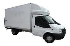
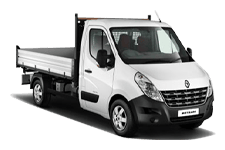
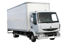
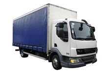
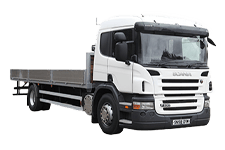
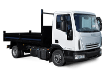
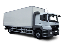
Vehicle choice should begin with the load rather than a familiar body shape. Explain the number of passengers, the amount of luggage, the largest individual items, total volume, estimated weight and whether the load needs a particular body arrangement. Equipment with wheels, long sections, fragile cases or awkward handling needs may affect the most practical option. Access can matter just as much: a truck that suits the load must also reach the start and destination addresses without creating unnecessary carrying work. Mention whether the journey involves a house move, trade equipment, outdoor gear or event materials. These points allow the booking team to compare the relevant vehicle groups with the job and direct any entitlement or load questions to the relevant hire terms.
Nearby Hampshire journeys from Petersfield
Commercial route references around Petersfield include Steep, Liss, East Meon, Clanfield, Selborne, Sheet and Buriton. Before a truck travels from Petersfield towards Steep, Liss or East Meon, provide site postcodes and verify height, weight, turning and loading restrictions.